Mapping the Rust
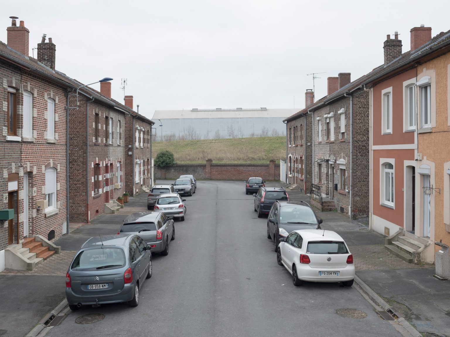
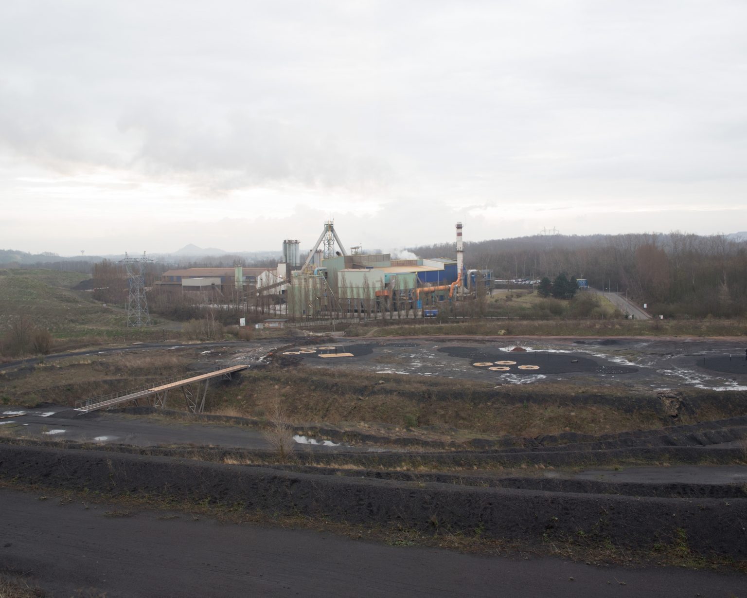
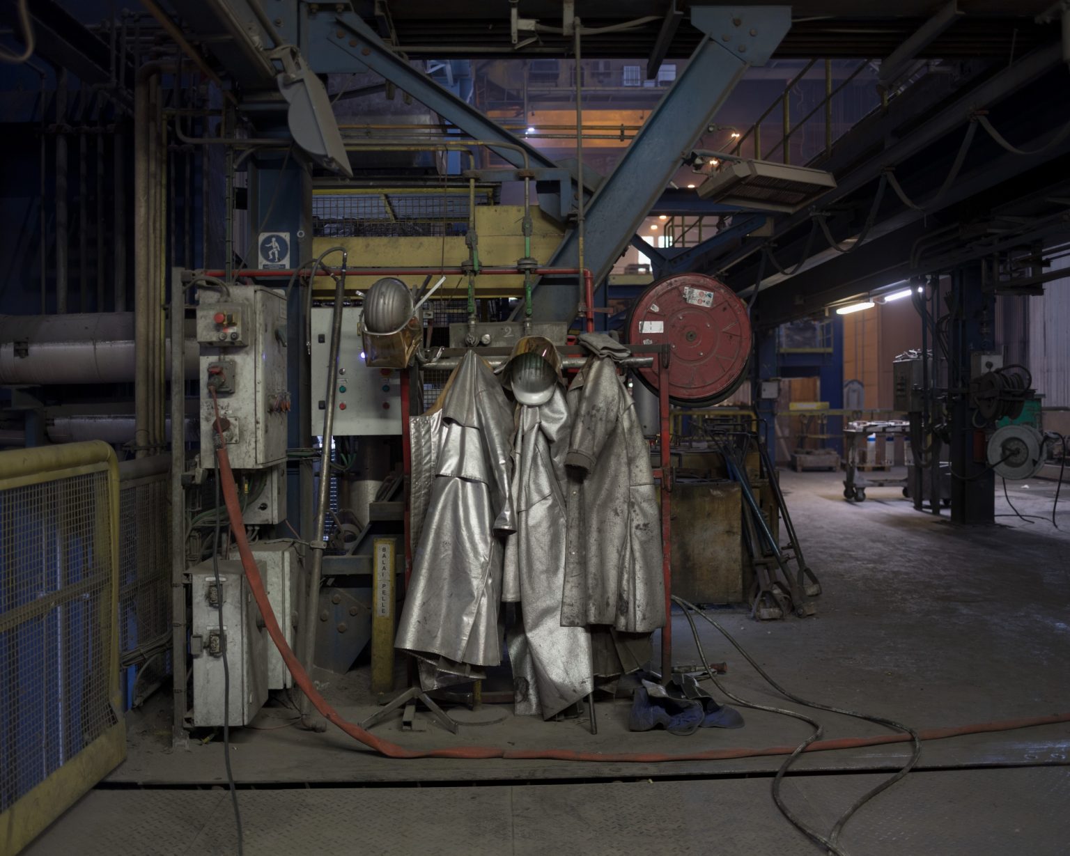
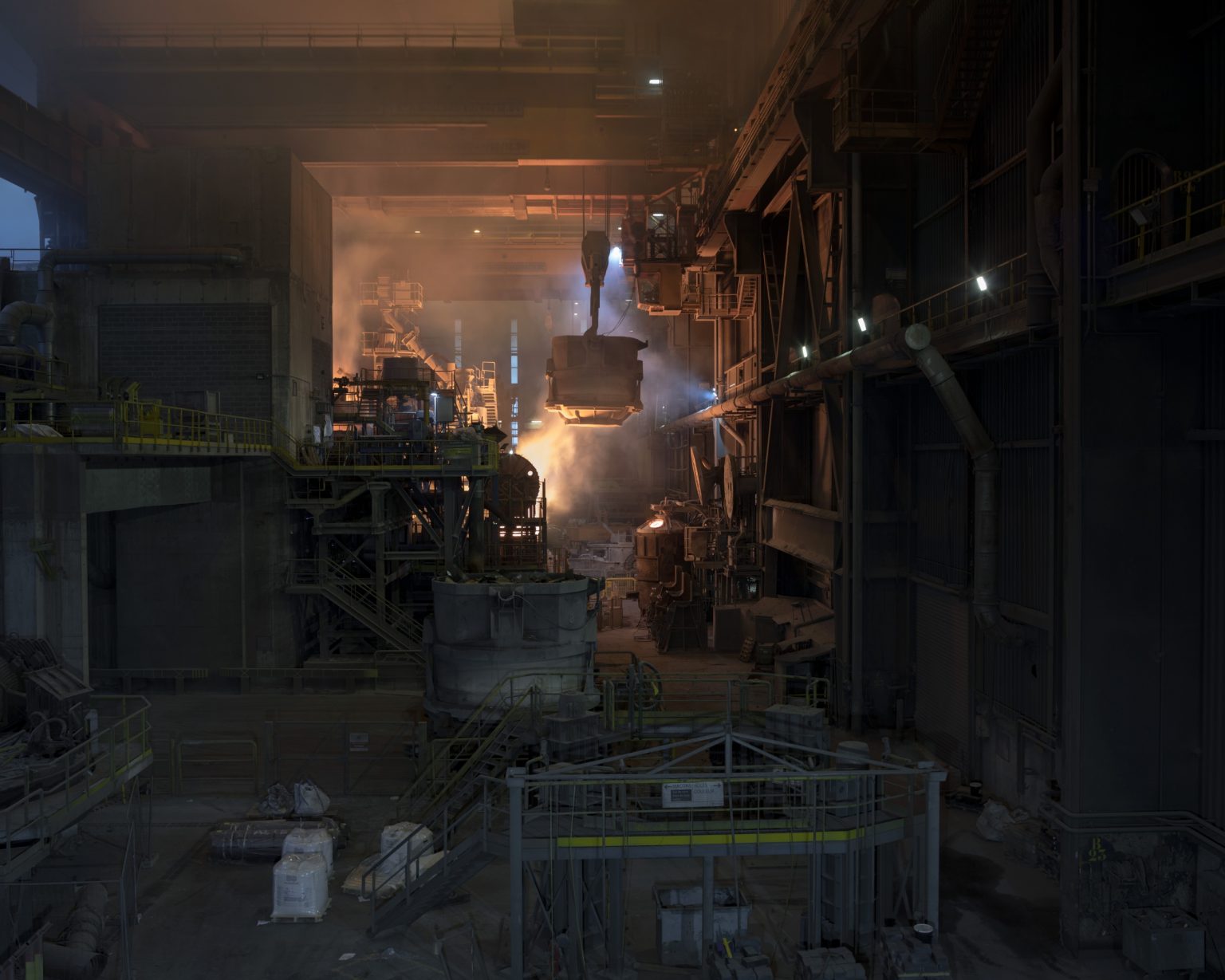
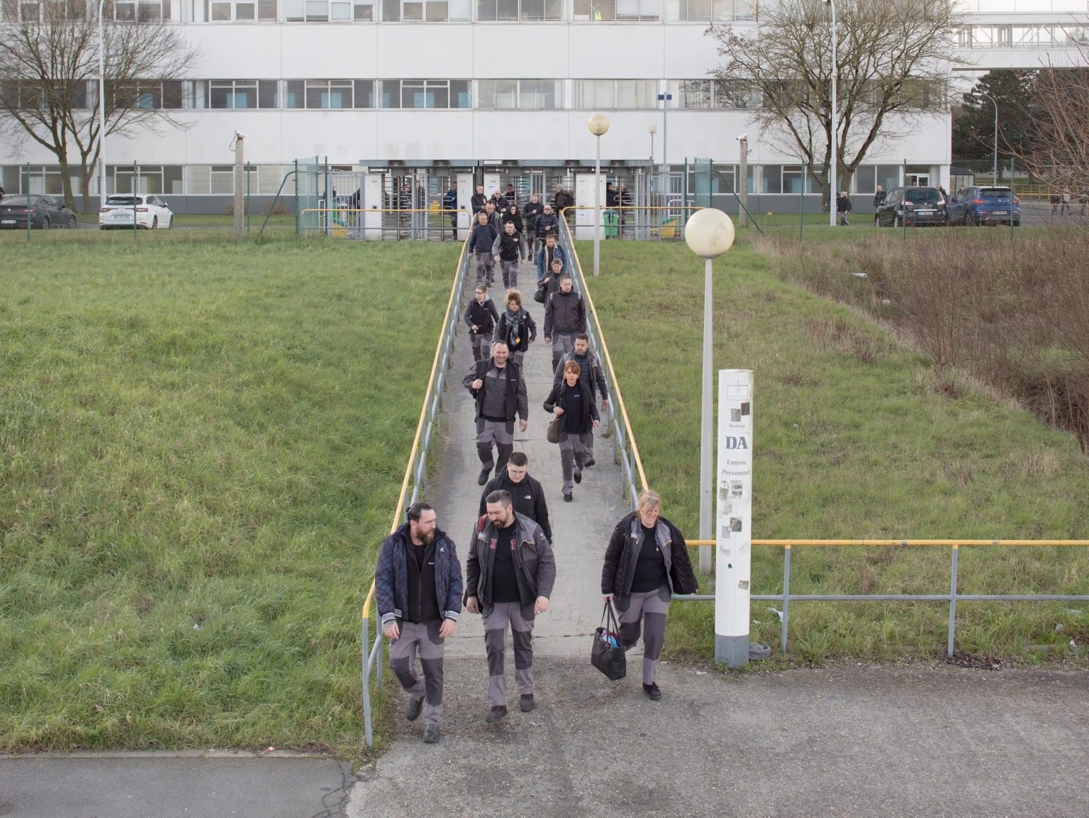
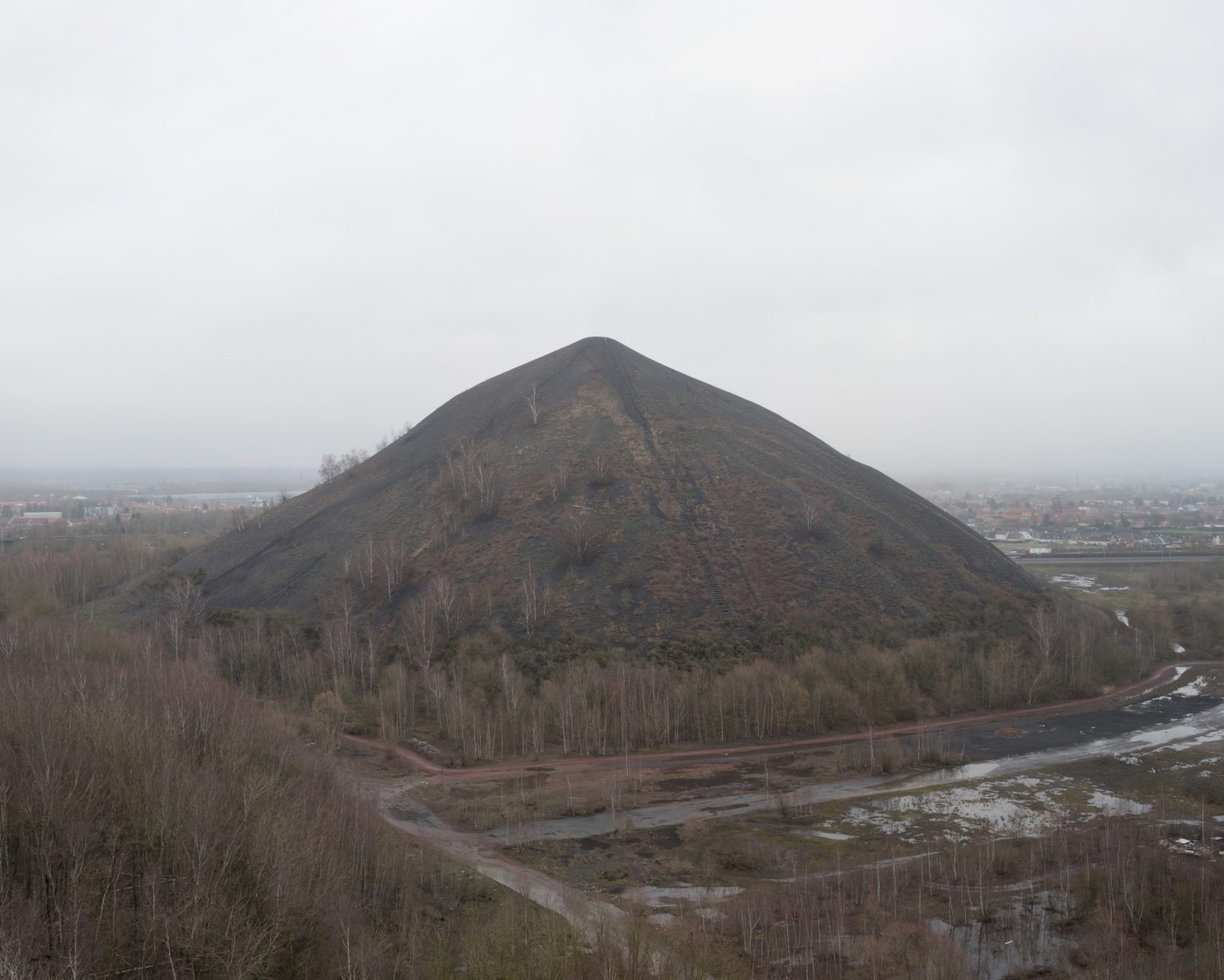
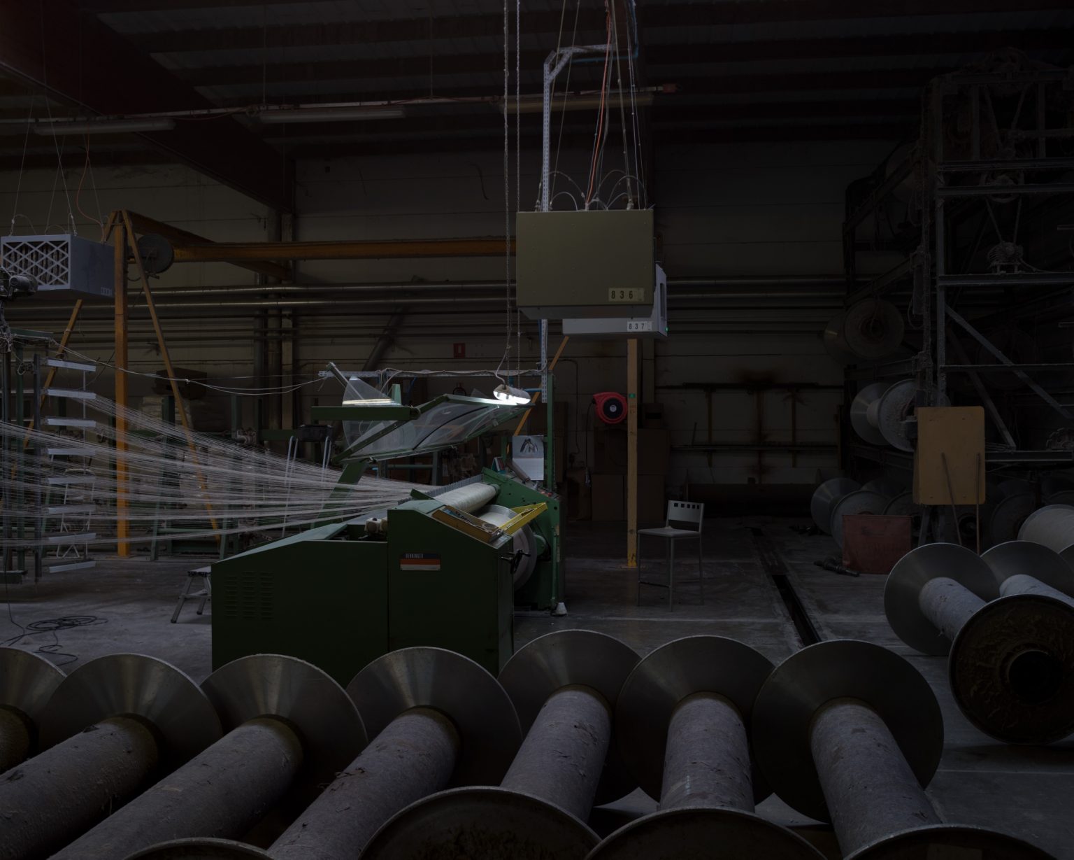
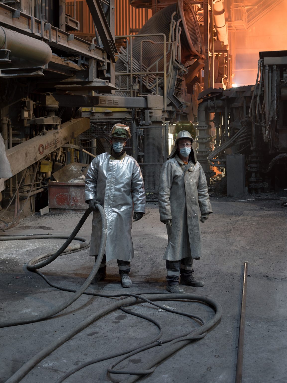
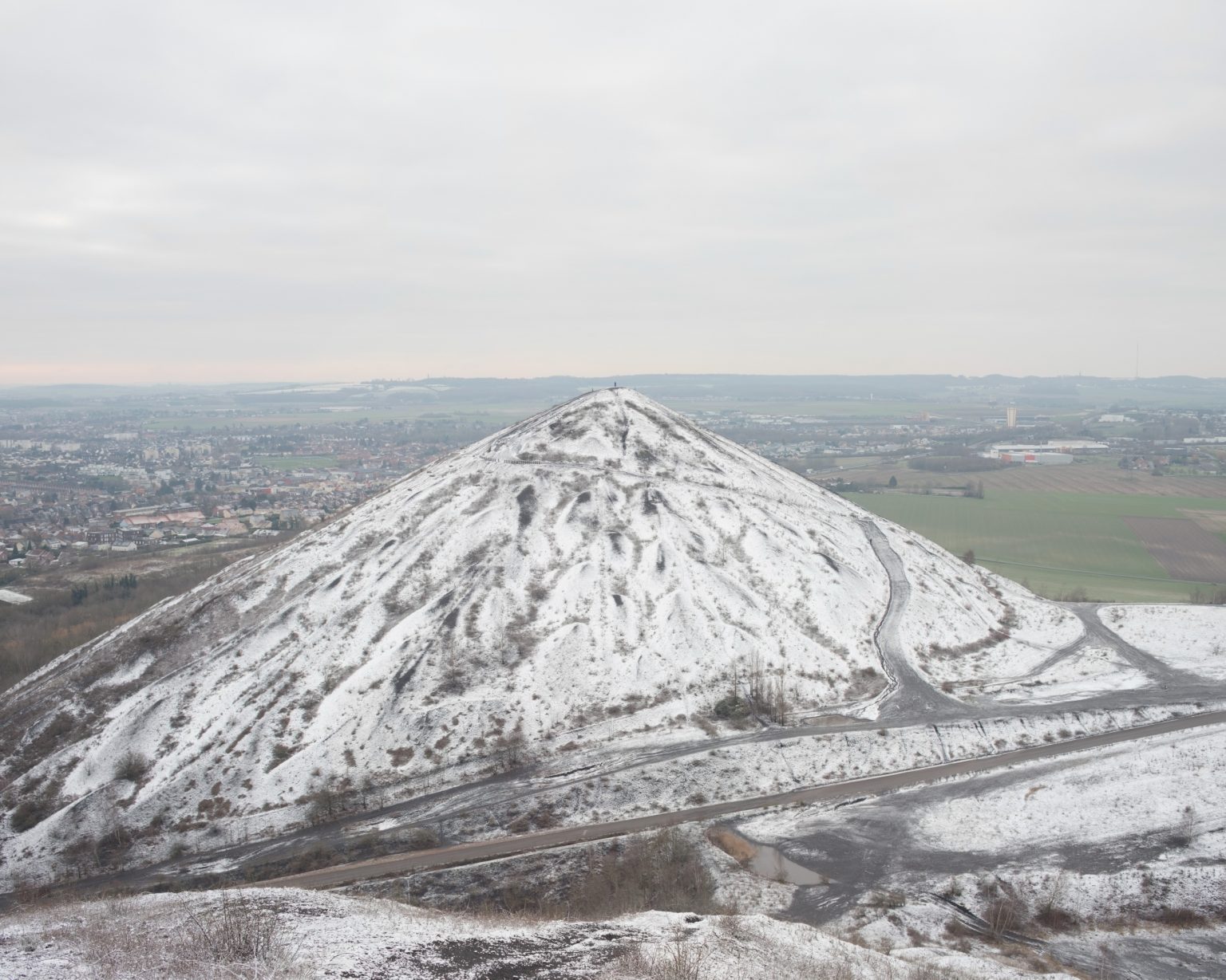
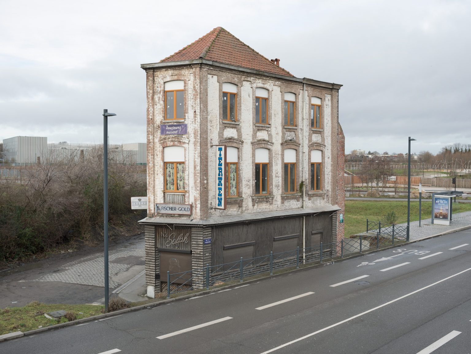
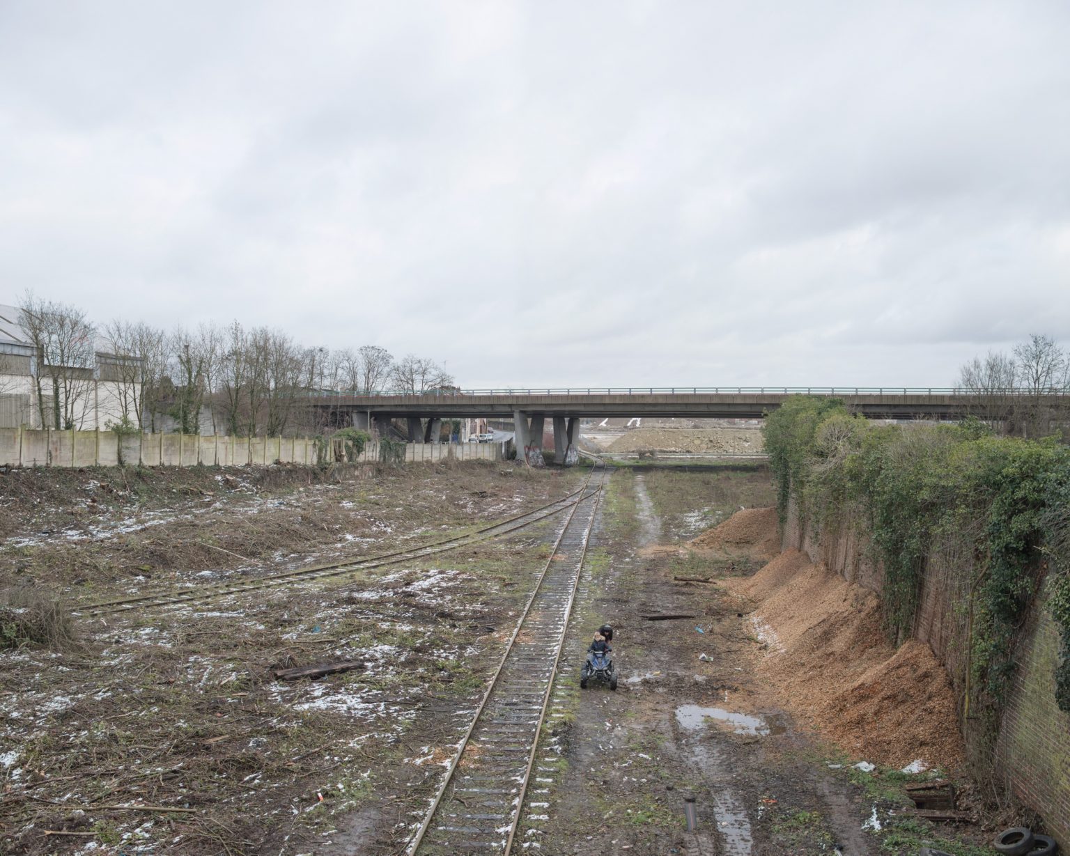
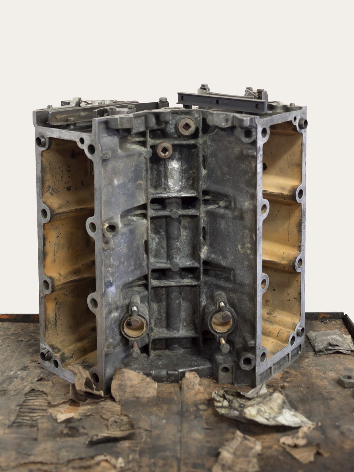
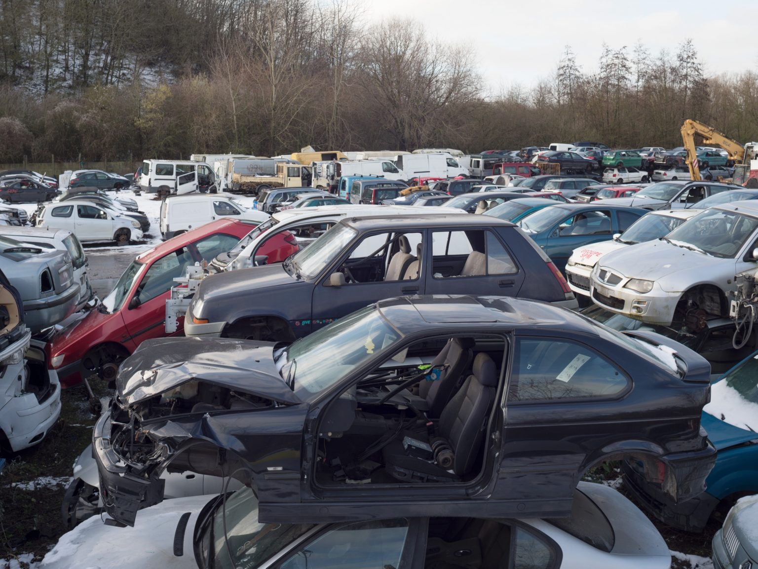
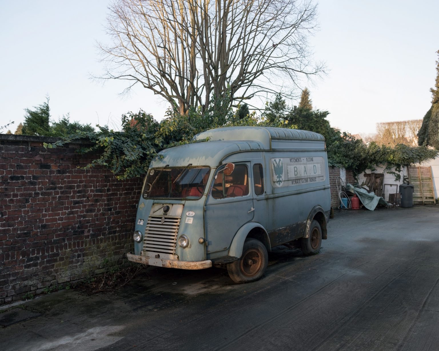
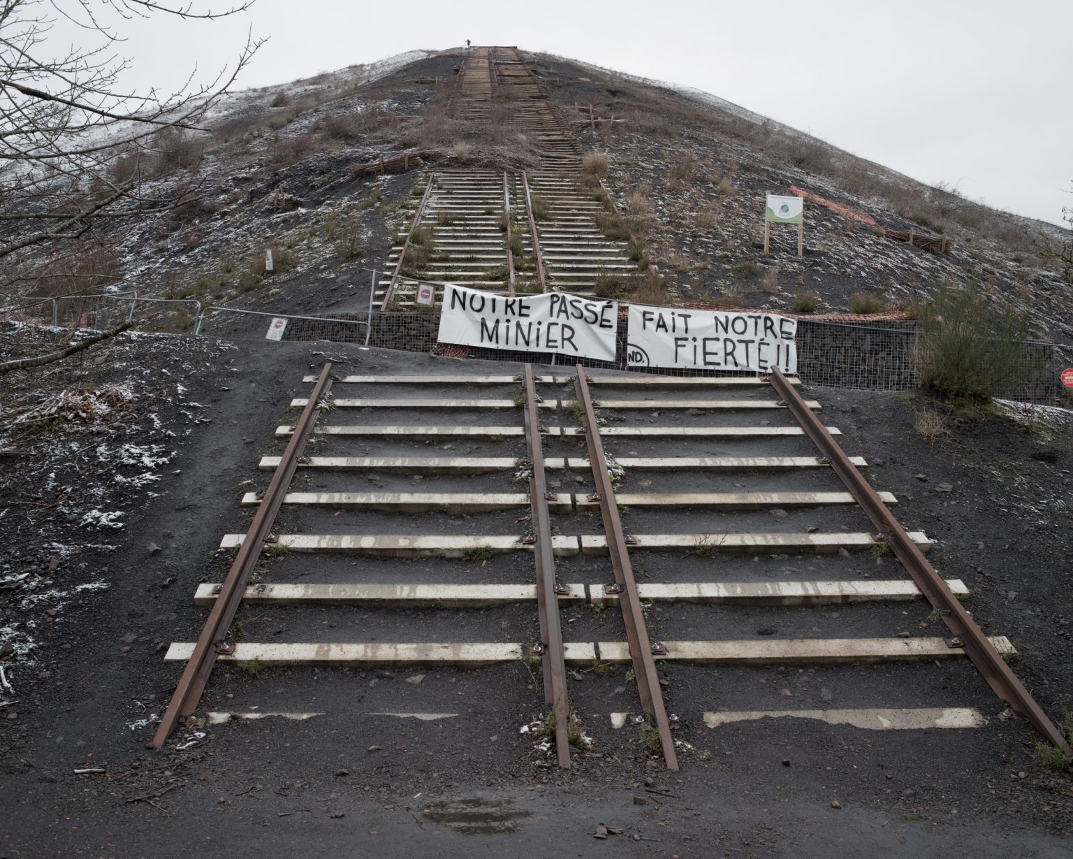
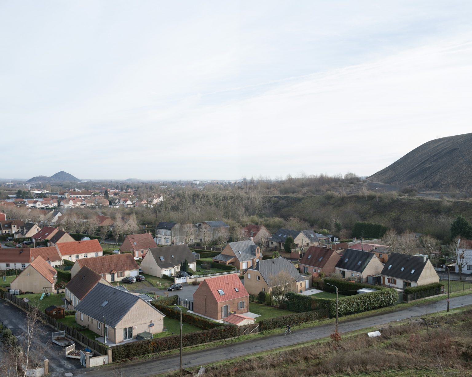
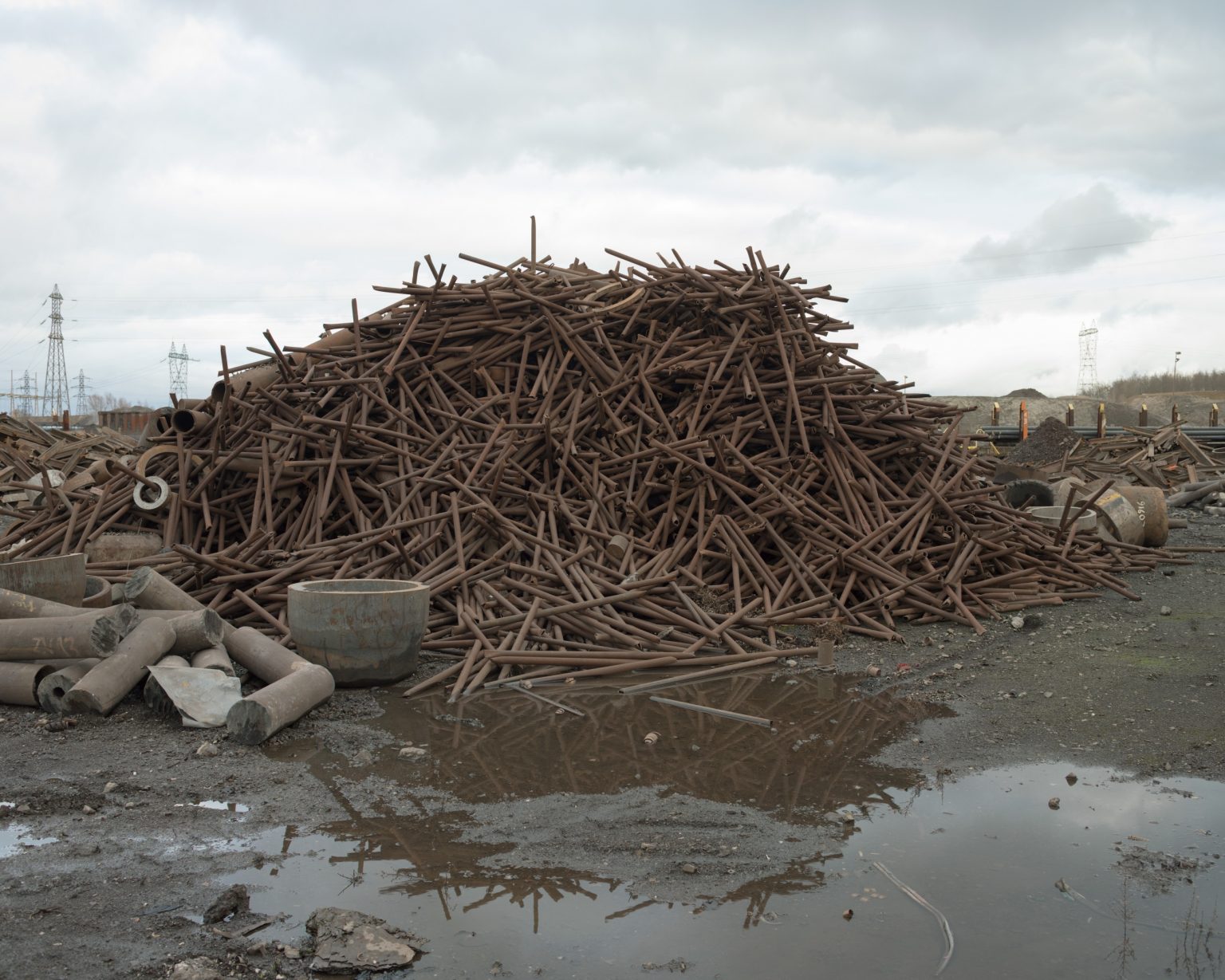
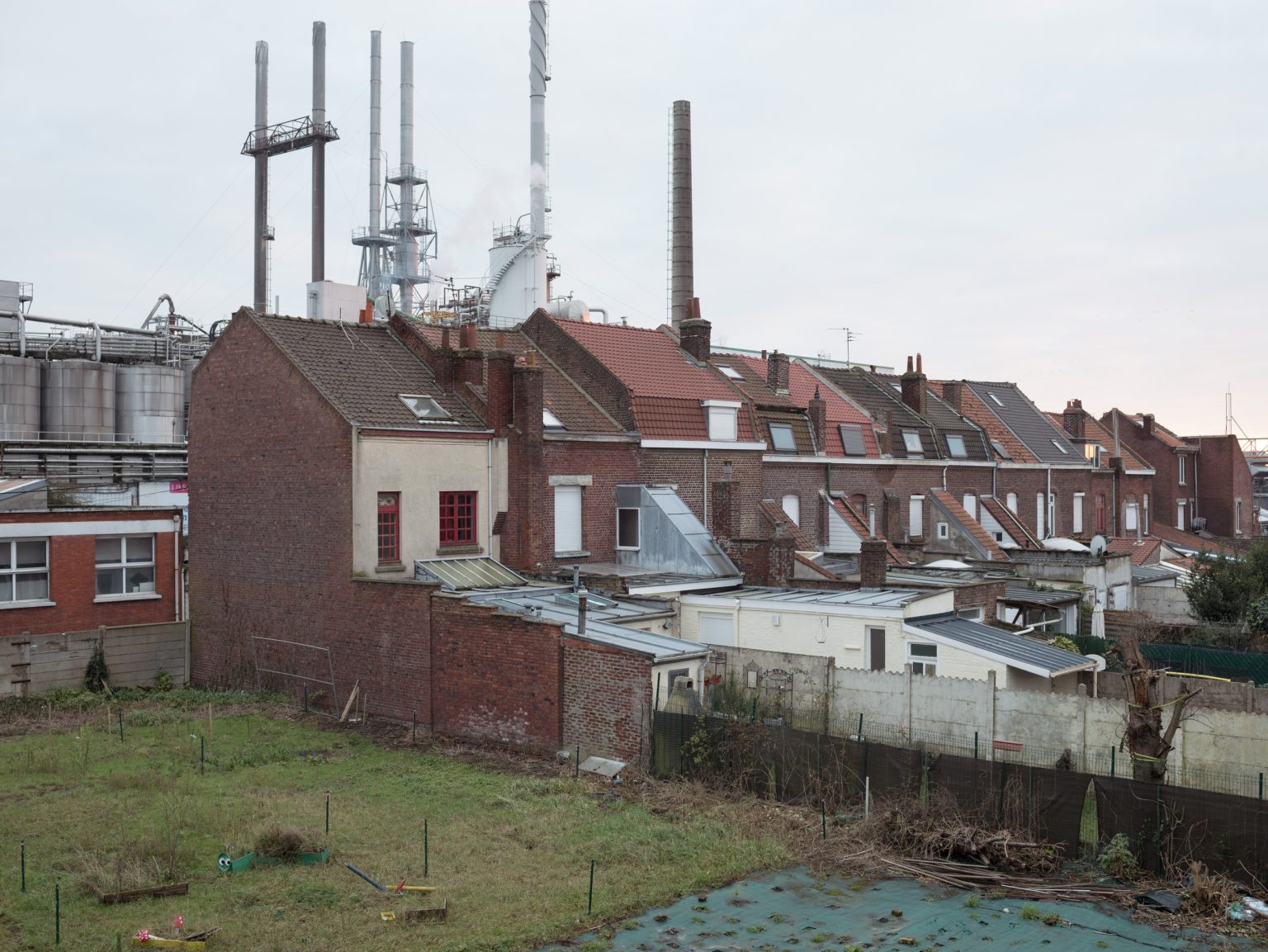
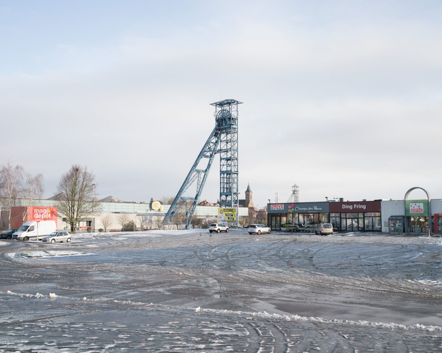
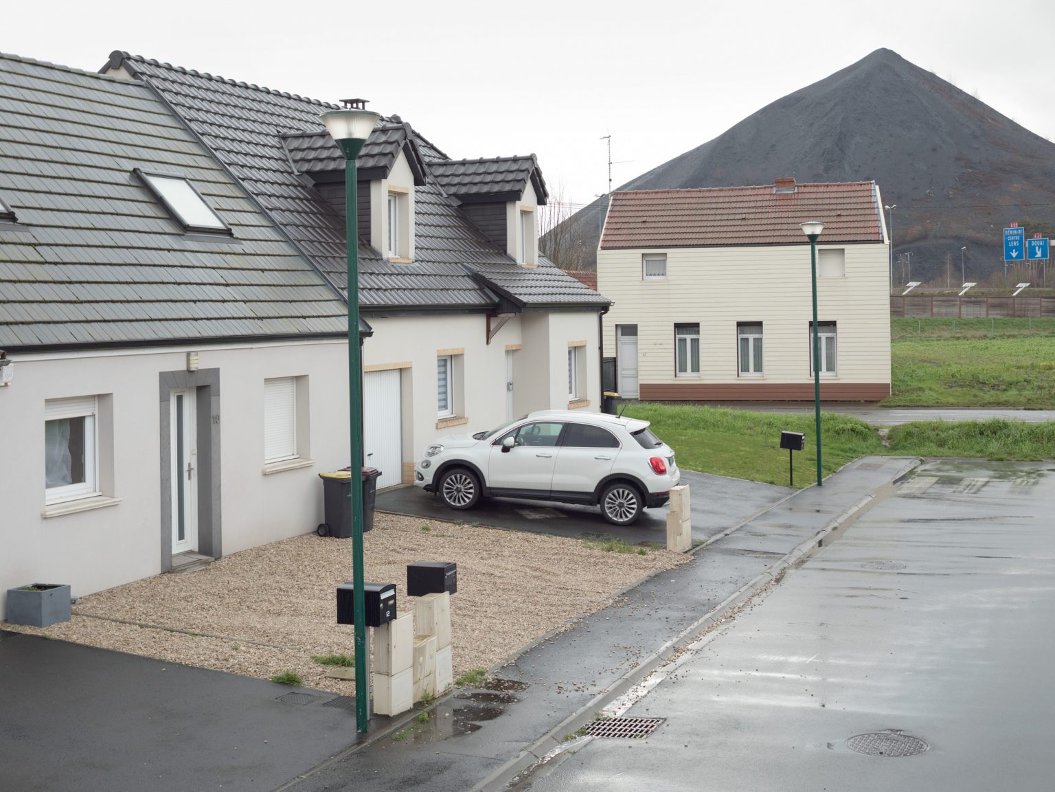
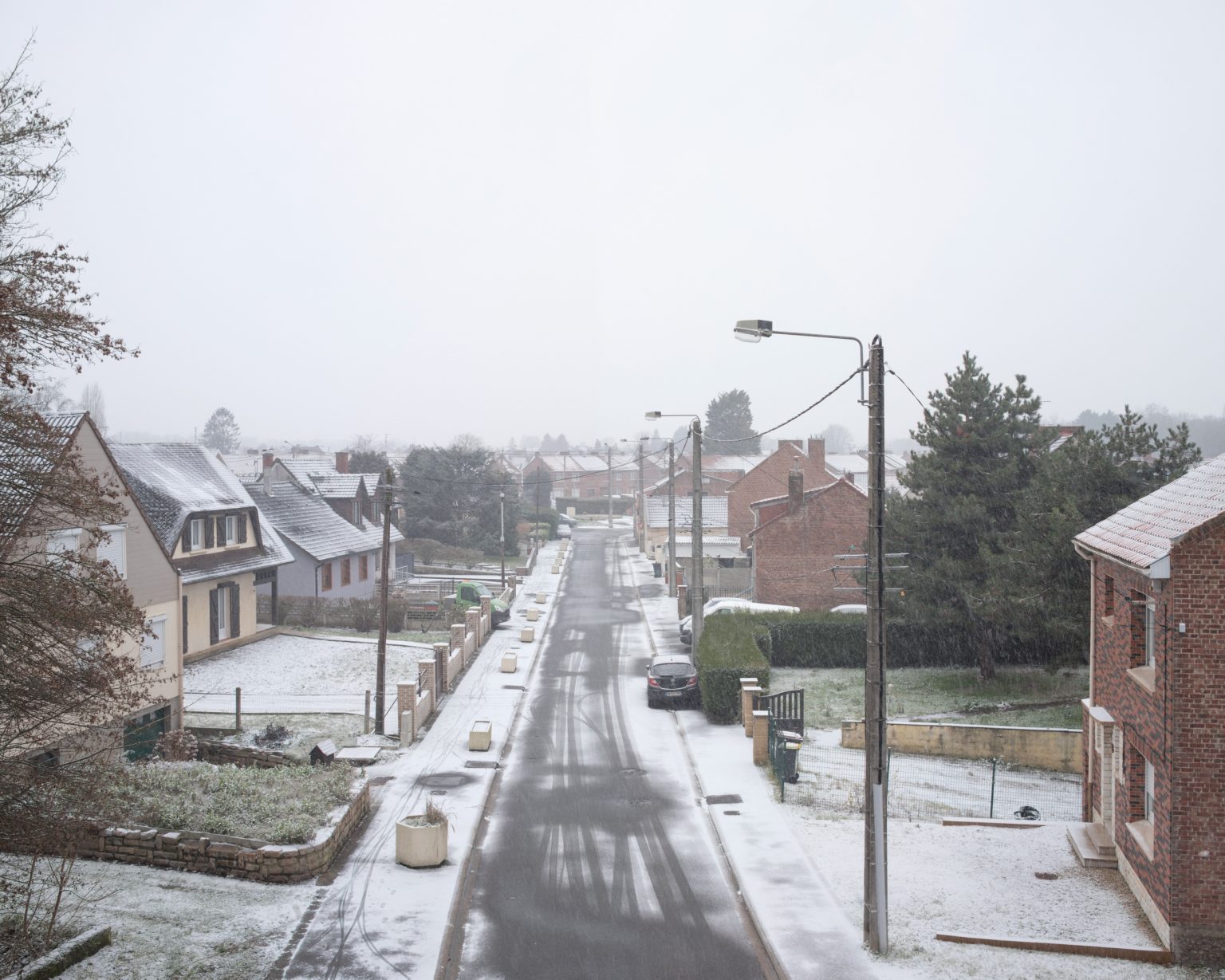
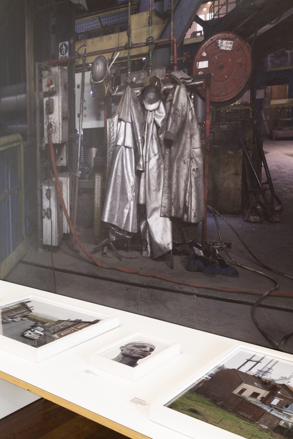
Until the early 21st century, the mining basin of the Nord- pas de Calais was one of the driving hearts of the French economy. Coal, steal and textile have created wealth for many generations.
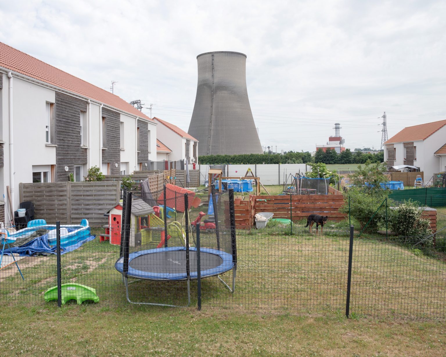
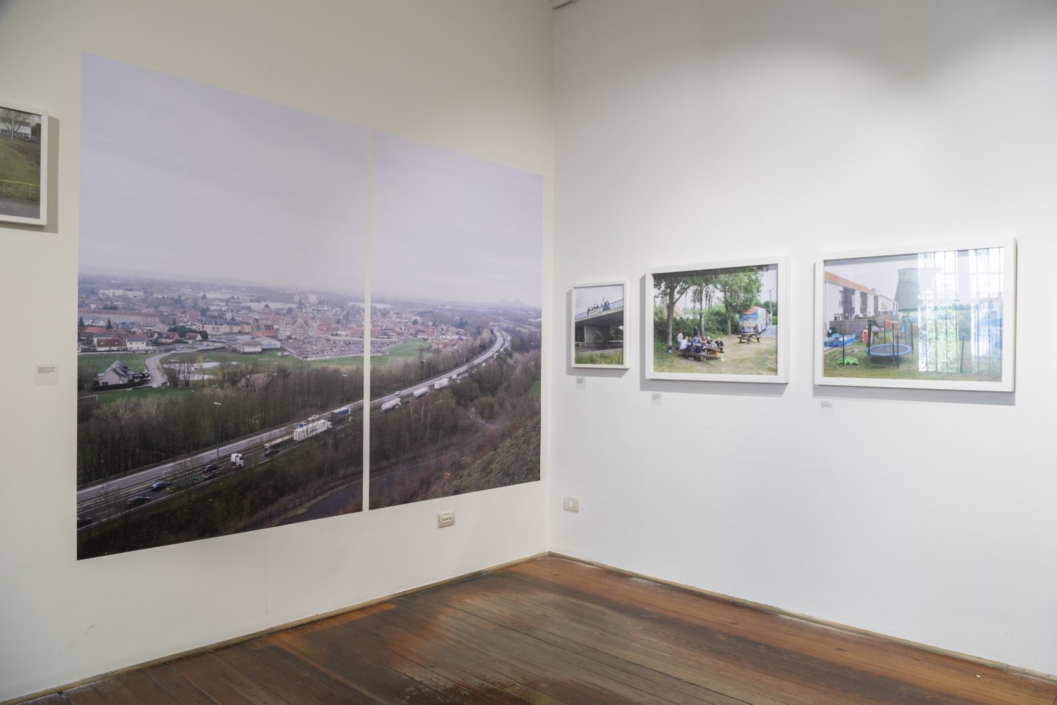
Nowadays the European rust belt runs along the A21 highway, on the Belgian border, from Bethune to Valenciennes.
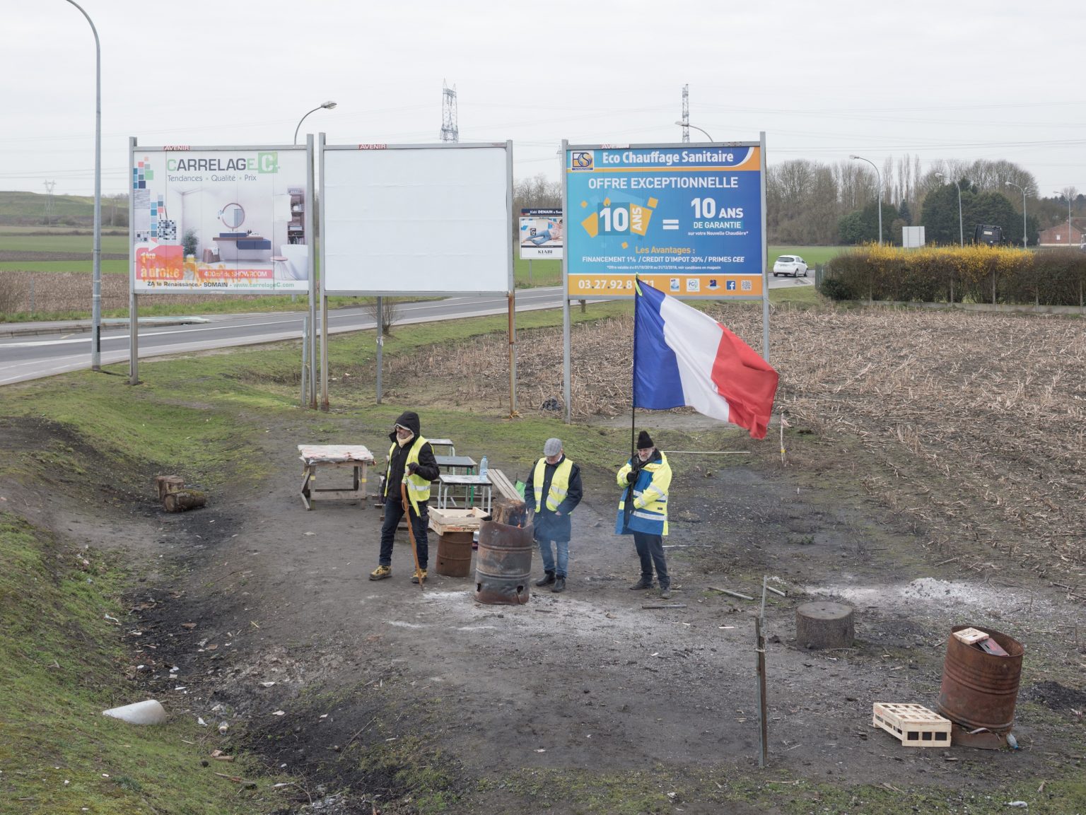
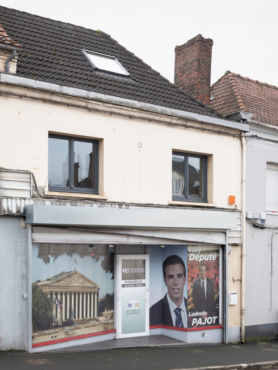
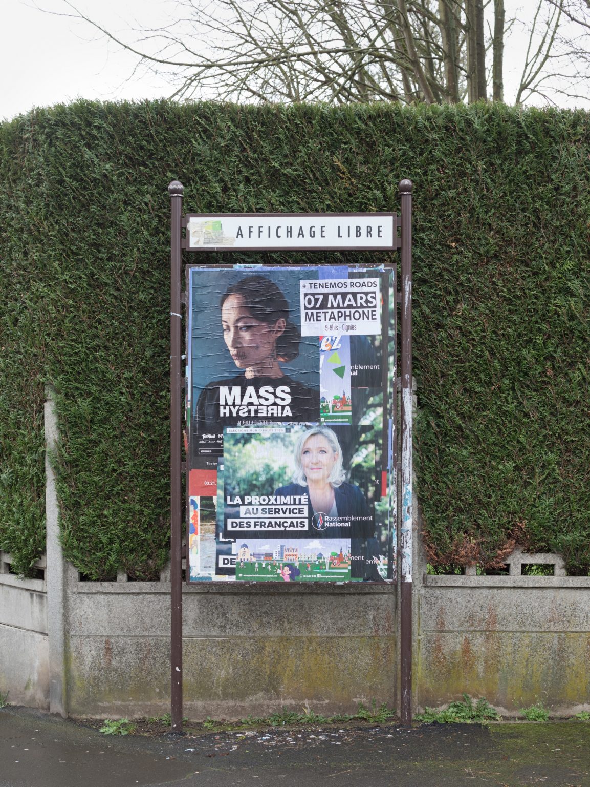
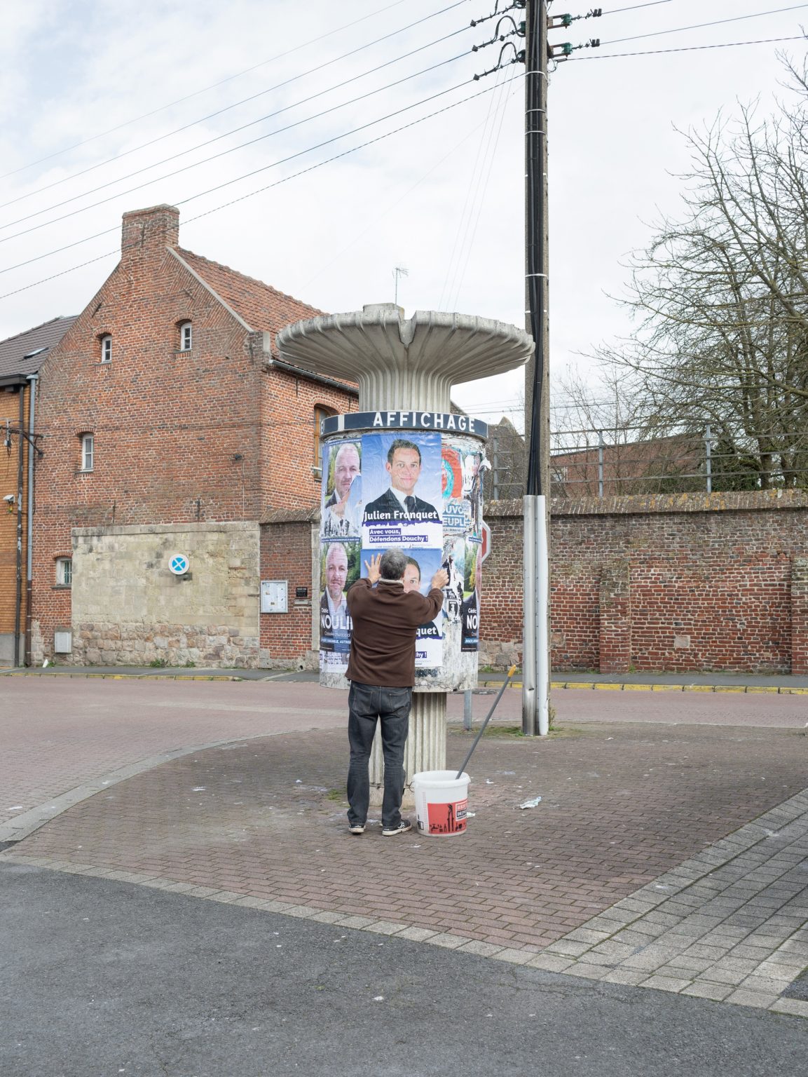
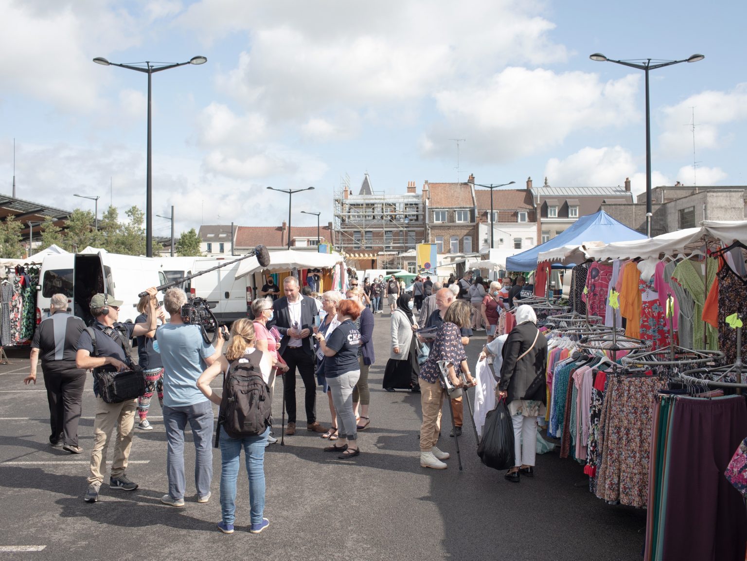
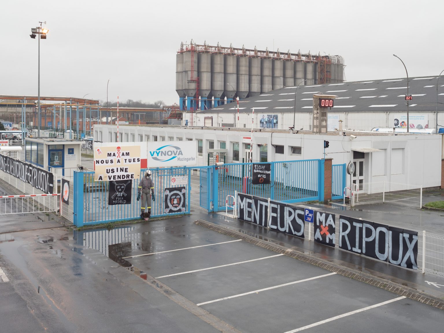
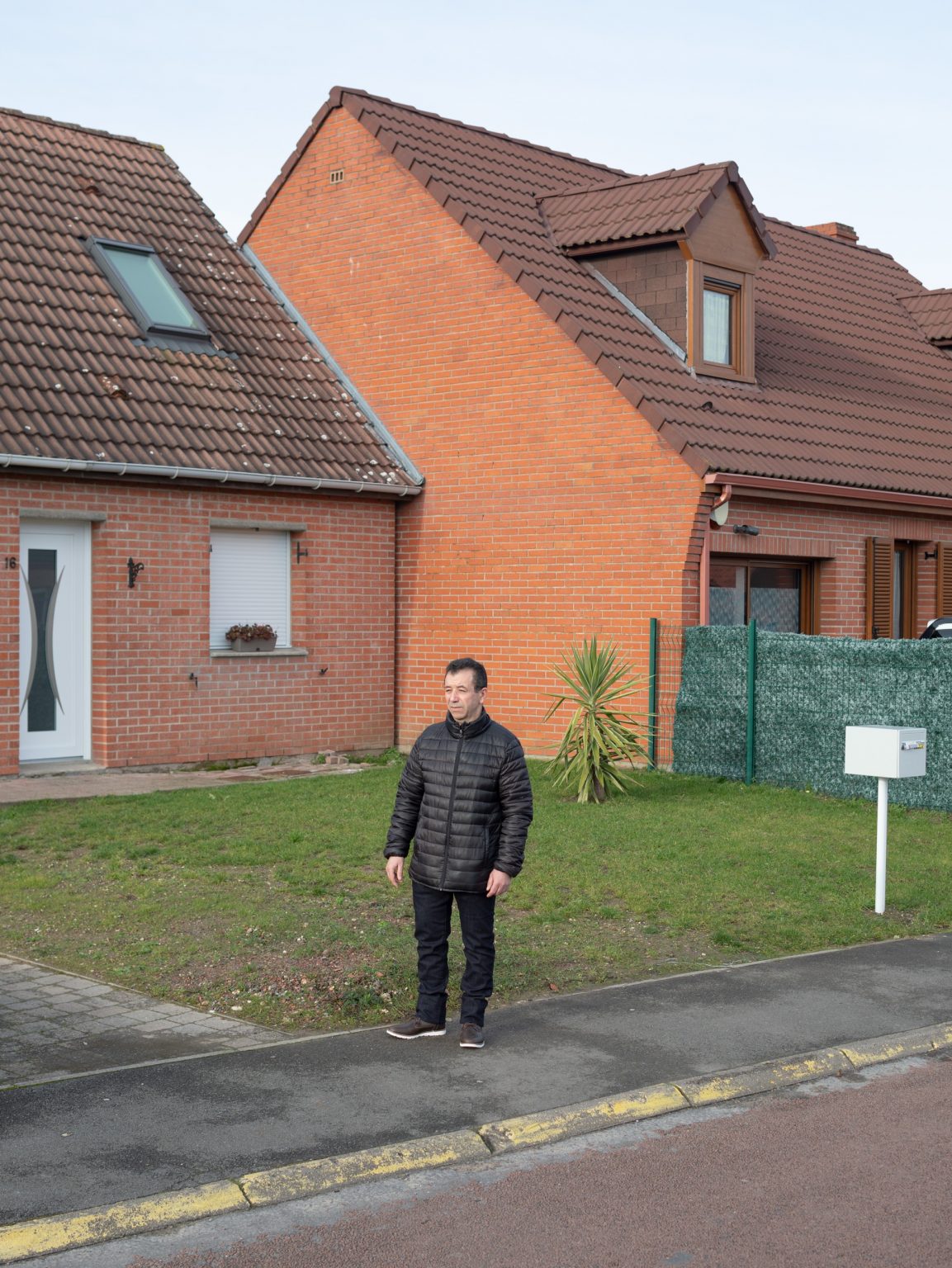
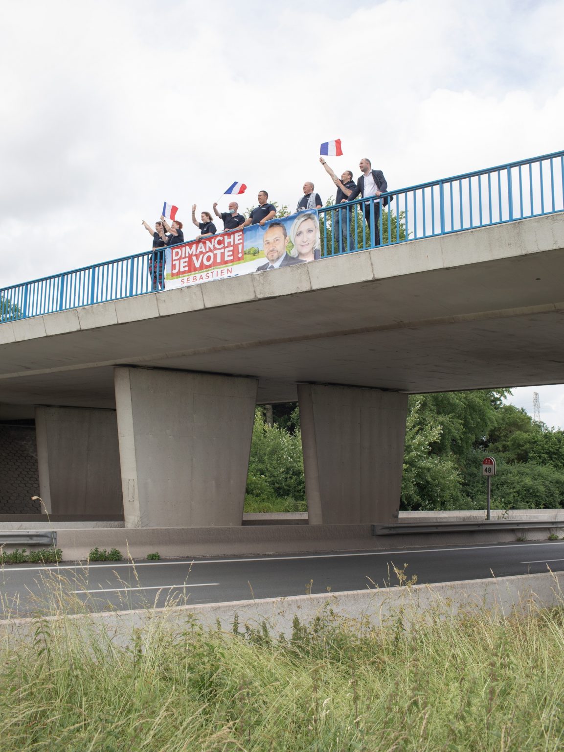
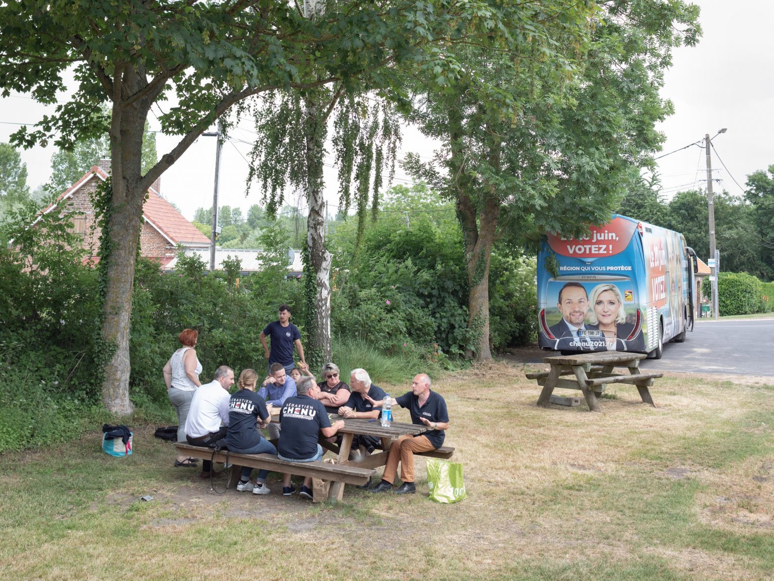
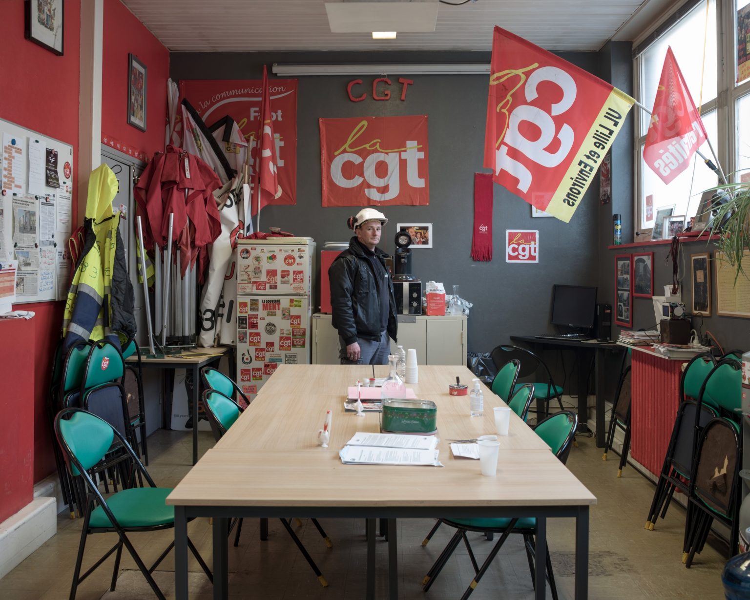
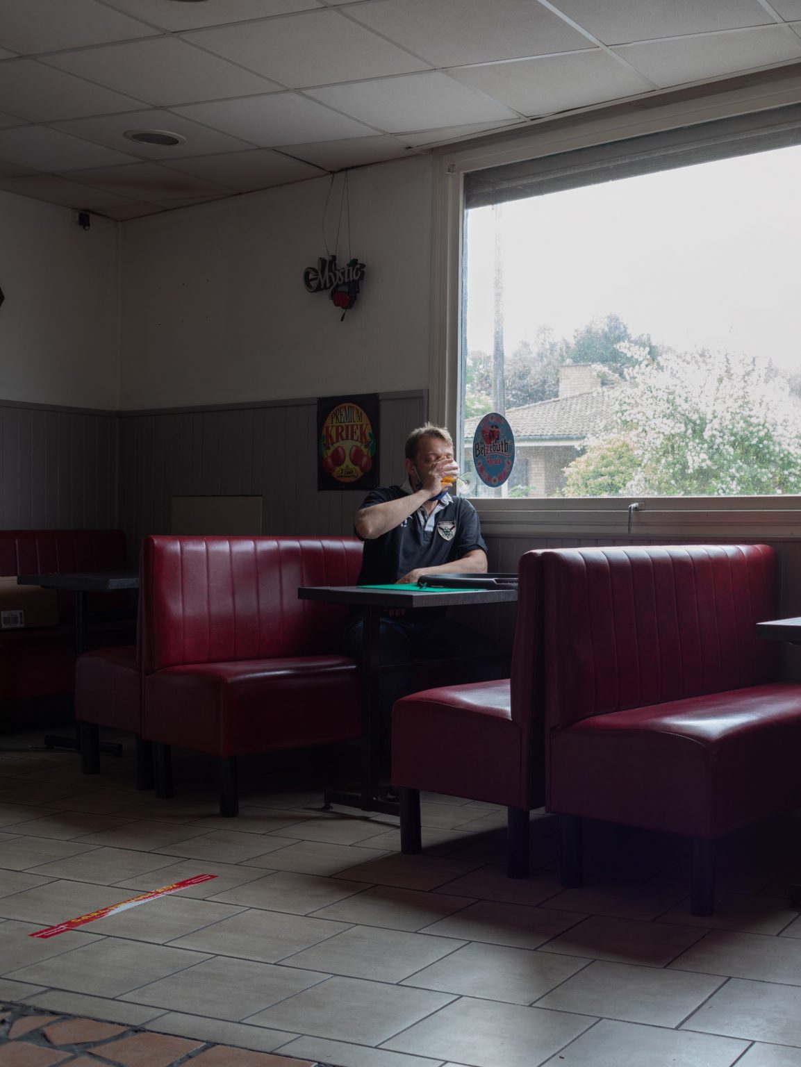
However with the coming of globalization and relocation, the working class once progressive,have moved to the right, towards sovereign and populist ideologies.
The provinces in the north-east of Paris have become the stronghold of extreme right parties and many long-held leftish polling stations have fallen.
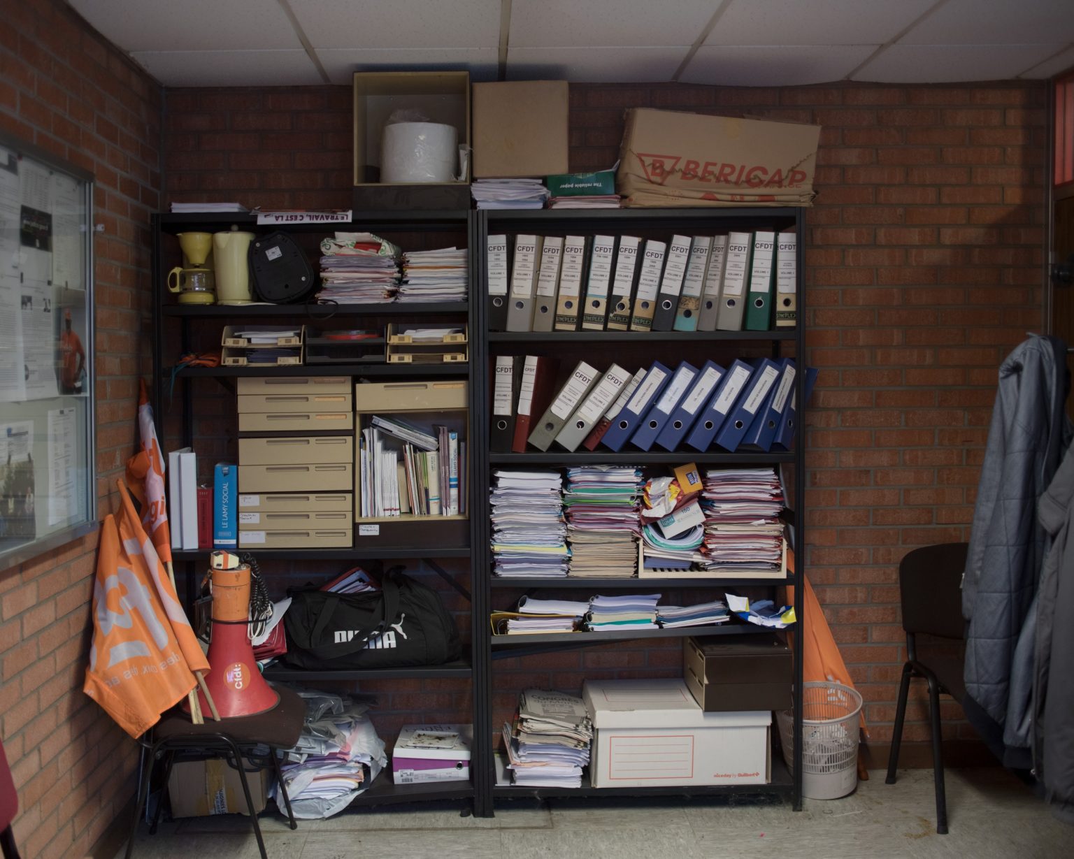
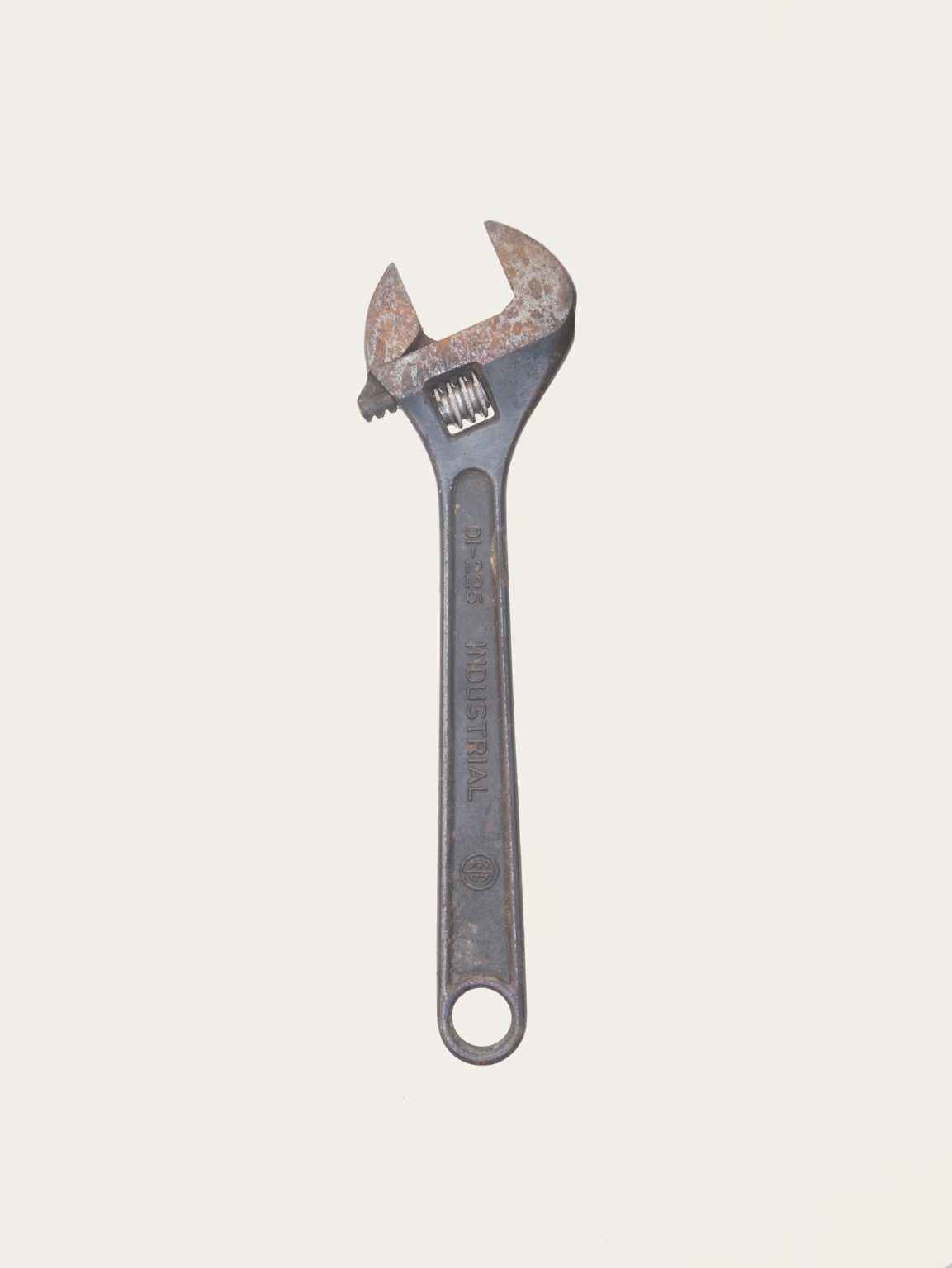
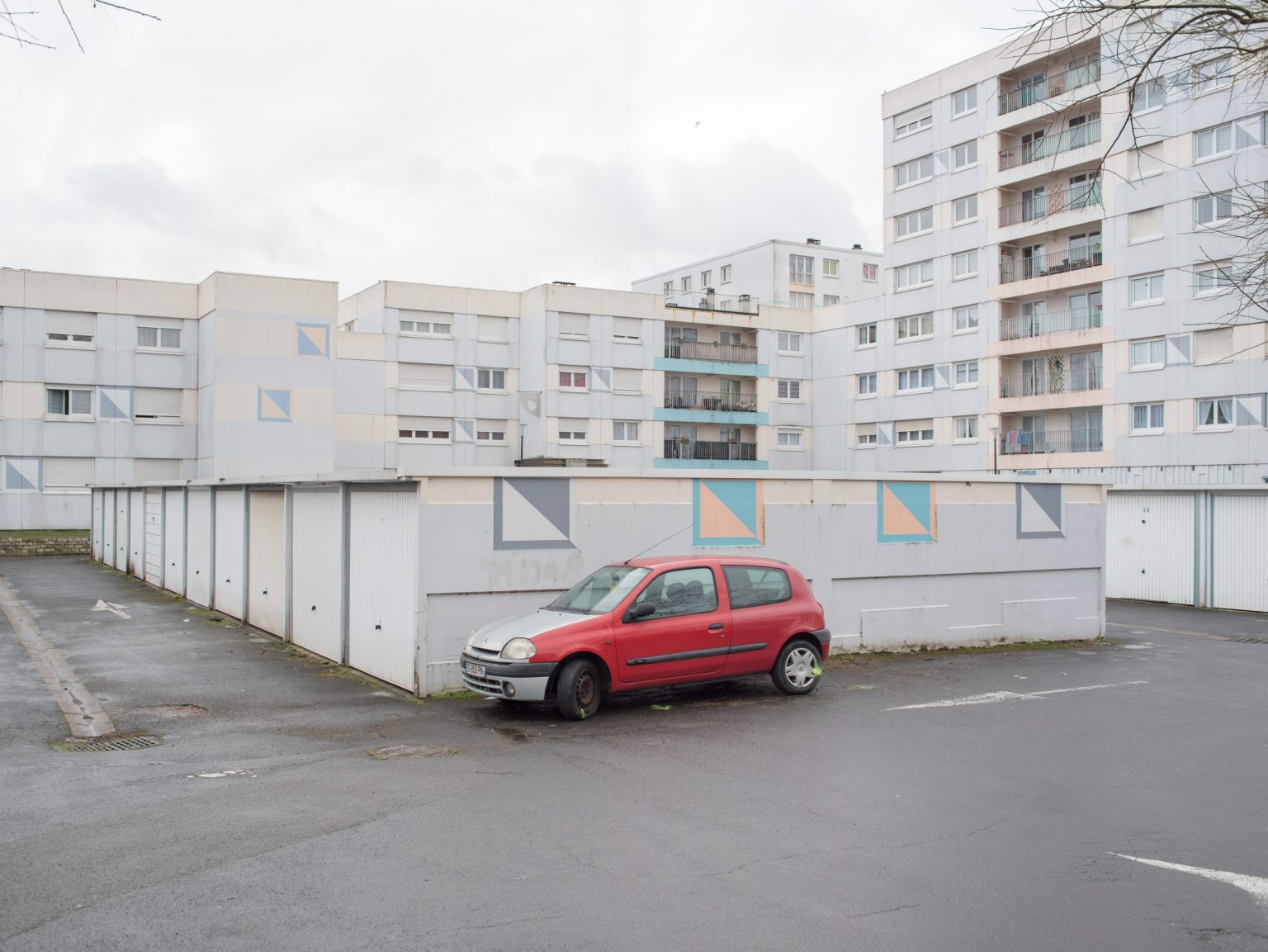
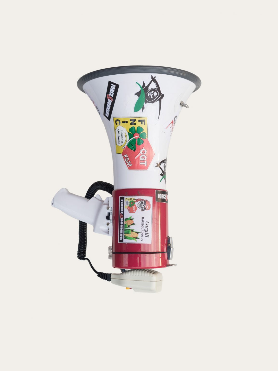
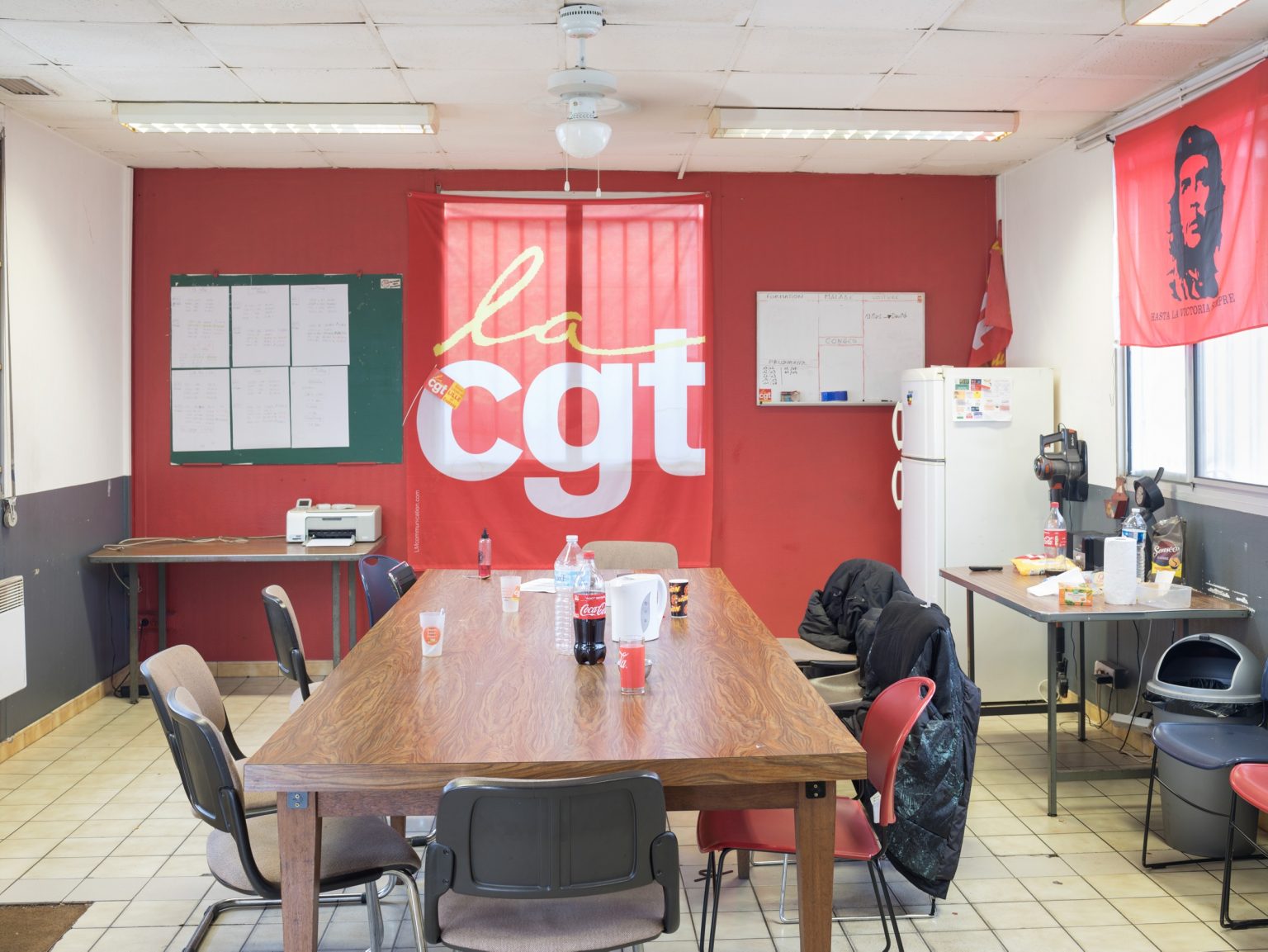
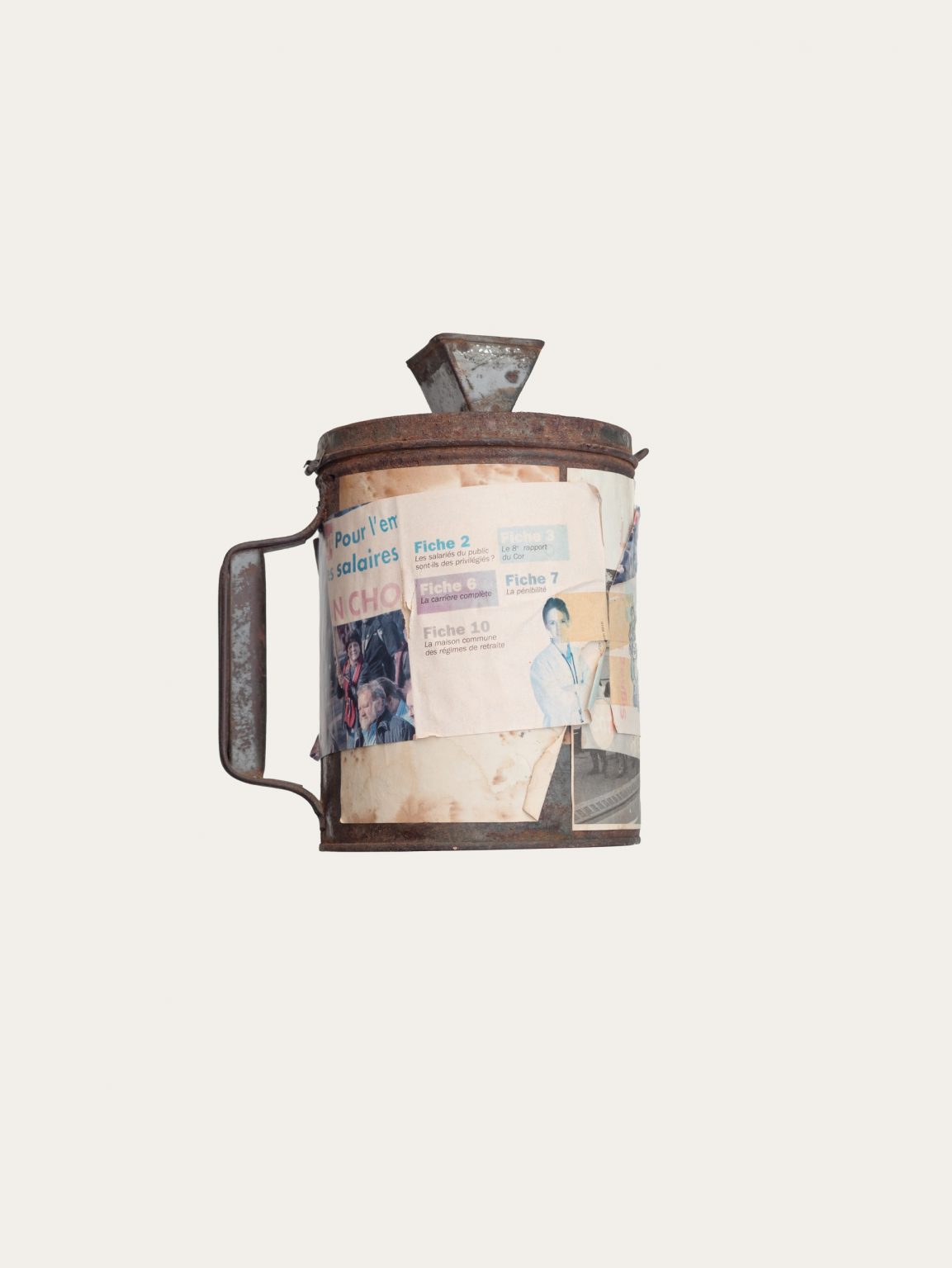
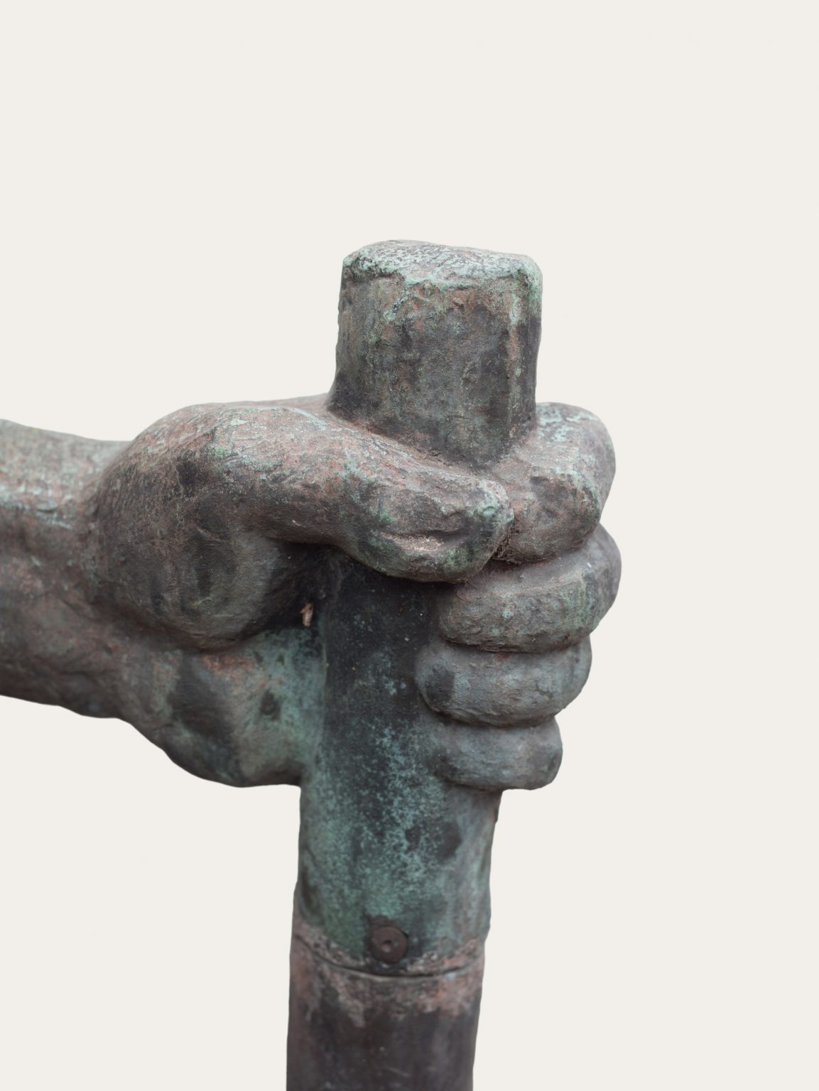
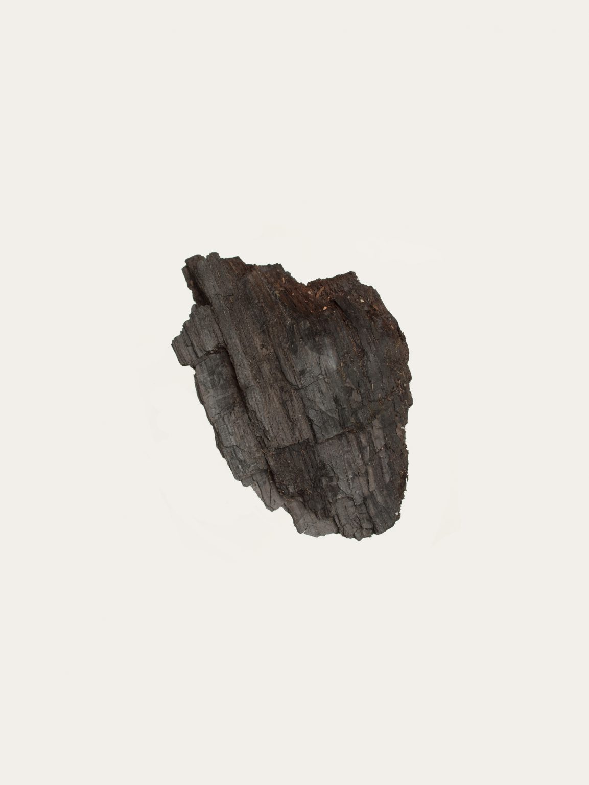
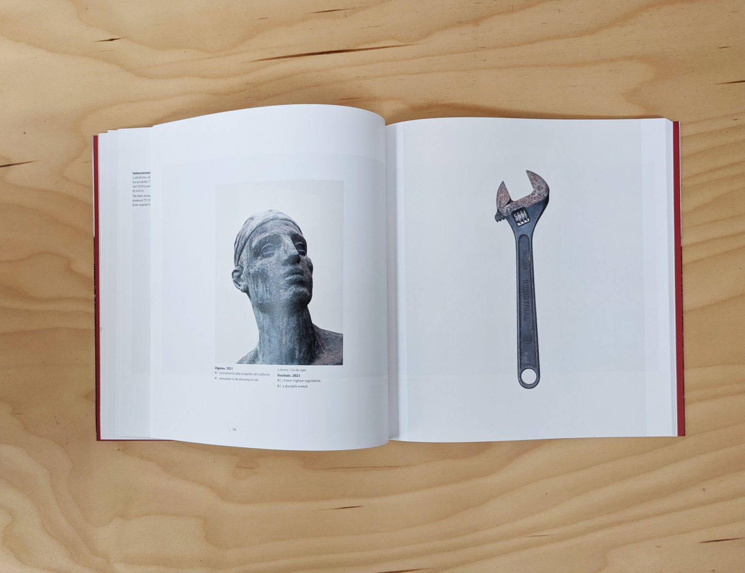
Mapping the Rust is a photographic journey on the transformations of the industrial landscape but also the social, political and cultural changes that have followed. Rust, coal, populism, steel, work, textile, tools, trade unions and sovereignty, are at the centre of this investigation.
Fondazione Ordine degli Architetti di Milano, 2021